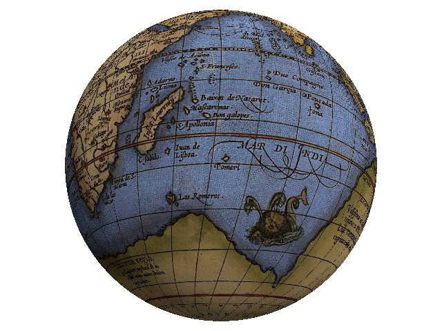
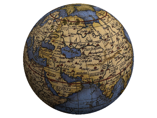
I am busy doing the graphics and illustrations for my next paper, The Colonization of Tiamat, Part V: The Annunaki Strike Back, and one of the illustrations I was working on was the reconstruction of the globe from 13th century mariner maps. Took a bit of doing, as they did not draw maps like we do these days, but I did manage to get something together and made a couple of animated GIF images out of it so you can see exactly what Earth looked like, somewhere near the 13½ century… and you will notice that ocean travel was pretty easy back then, as the oceans were much smaller than they are today.
The large, southern continent is Terra Australis Incognita, which includes both Antarctica and the breaking-off peninsula later known as Australia. Up at the North pole, we have the Bargos Islands, ancient home of the L-Ms–with NO ice pack!
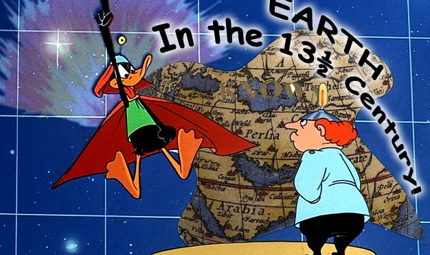
It’s all explained in the next paper, so, for all you eager young space cadets, here is Earth in the 13½ century!
Northern Hemisphere
Southern Hemisphere